
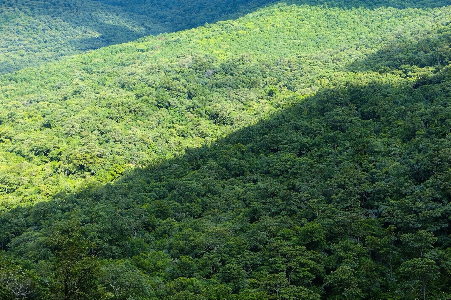
Buska Mountain Range
The Buska Mountain Range is a striking geographic feature in the Hamar District, deeply tied to the ecosystem and the culture of the Hamar people.
Geography and Importance
- Elevation: Rising up to 1,900 meters above sea level, it provides a refreshing, cool climate compared to the scorching lowlands below.
- Water Source: Small rivers and streams originate from Buska, flowing down to provide vital drinking water for local communities and livestock.
- Cultural Symbol: For the Hamar people, Buska is a symbol of strength and resilience. Historically, its caves and deep valleys served as a natural defensive fortress to protect themselves and their cattle from rival tribes.
Day Trekking Itinerary (From Turmi)
- 06:30 AM – 08:00 AM: Depart early from Turmi to beat the heat.
- 08:00 AM – 12:00 PM (Trek): Begin the steep but shaded hike under indigenous trees, observing changes in vegetation and birdlife as altitude increases.
- 12:00 PM – 01:30 PM: Reach a scenic plateau or the peak. Enjoy a packed lunch and capture panoramic views stretching toward the Kenyan border and Lake Turkana.
- 01:30 PM – 04:00 PM: Descend and visit authentic Hamar mountain villages. Participate in a traditional coffee ceremony if invited.
- 04:00 PM – 05:30 PM: Return to the vehicle and drive back to Turmi. (In the evening, check if a Night Dance / Evangadi or Bull Jump is scheduled nearby).